Friday 7th June update - all routes now fully revised to take account of road works, closed roads and deteriorated tarmac. GPS downloads also revised
1) 1,000ft LESS climbing than 2023
2) Designed for Breeze riders
3) Early split away from Medium and Long routes
4) Single food stop at mile 24 (halfway around)
5) Return skirting Wrexham on back roads
Total Distance: 50miles
Total Climbing: 2,600ft
No. of Food Stops: ONE
GPS file: now available7th June update
Map Link: Ride with GPS
1) Split away from Long route before Ruthin
2) Super quiet road (exclusive to Medium) bordering Clwydian AONB
3) First food stop at Carrog
4) Quiet roads alongside River Dee
5) Return via the Panorama Walk
Total Distance: 68.5miles
Total Climbing: 4,300ft
No. of Food Stops: TWO
GPS file: now available7th June update
Map Link: Ride with GPS
1) Big descent towards Ruthin
2) Big climb out of Denbigh (the "Road to Hell") - last used in 2019 - check out climb video here
3) Quiet roads in the Clocaenog forest (including outdoor food stop)
4) Return alongside the River Dee
5) Ride the Panorama Walk
6) Return skirting Wrexham on back roads
Total Distance: 101.2miles
Total Climbing: 6,750ft
No. of Food Stops: FOUR
GPS file: now available7th June update
Map Link: Ride with GPS

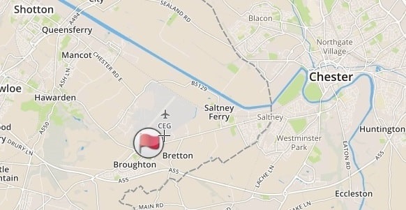
Broughton Wings, AirbusUK, Broughton, Chester CH4 0DR